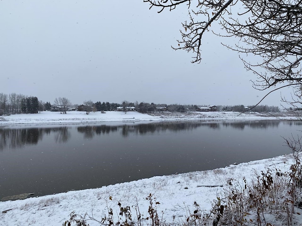
The cold start to the New Year in Hay River has given way to much warmer temperatures and they'll be here to stay for the next little while, according to Environment and Climate Change Canada (ECCC).
The mercury has risen considerably since Monday evening with Tuesday's high being around -3 C. Today's high should be around -7 C if the forecast is correct, and it could go as high as -2 C on Jan. 13. In Fort Smith, it was -9 on Tuesday with Wednesday's high expected to be around -4 C.
Justin Shelley, a meteorologist with ECCC, said the reason for the upward trend in temperatures is due to an large upper ridge of high pressure along the Pacific coast.
"That ridge is moving north and east into the (Northern) region and it will rise and fall over the next week or so," he said. "It's expected to peak around (Tuesday) and that's why you'll be seeing temperatures well above average for this time of year."
To put into perspective just how much of a swing there is from last year, the daytime high on Jan. 7, 2024 was -29 C, followed by -34 one year ago today, Jan. 8.
Shelley said the average daytime high for this time of year is around -19 C with the overnight low somewhere around -28 C.
The overnight lows for Hay River will also be above normal after Wednesday with Jan. 13 seeing the same temperature as it's expected to be in the daytime: -2 C. Those warmer temperatures should last until the middle of the month with double-digit highs expected to return around Jan. 17 for both Hay River and Fort Smith.
Shelley said it's difficult to predict what the temperature will do beyond a seven-to-10-day period, but expect cooler temperatures to stick around more often than not because of La Nina, which brings colder temperatures to the western part of North America.


