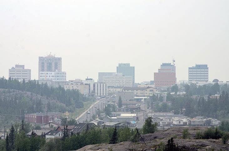
Yellowknife's summer and early fall were cooler and wetter than average, but compared to 2018, saw much less rainfall.
Armel Castellen, meteorologist with the federal department of Environment and Climate Change Canada said the past summer was the ninth coldest on record over a 76-year period.

Precipitation figures, however, were much closer to normal this past summer compared to the record breaking downpour in the summer of 2018.
Between June and August of 2019, there was 135 mm of rain that fell, which is above the 109 mm average for those months.
That figure, however, was nowhere near last year's record numbers over those same months in 2018 which saw 248 mm of rain SA����Ӱ�Ӵ�ý� the wettest on record in 77 years.
In the end, 2018 turned out to be the 13th wettest year since 1942 with a total of 340.8 mm. Castellen said that any given Yellowknife year of precipitation is made up of about half rain and half snow, but it is clear last year's majority was made up of the oddball year of summer showers.
He expects the end of 2019 to have a fairly normal figure of annual rainfall.
SA����Ӱ�Ӵ�ý�So far 2019 has seen 24 mm, he stated in an email. SA����Ӱ�Ӵ�ý�If normal precipitation fell for the remainder of 2019, it would end up with about 300 to 310 mm and above the average (288 mm). But that would not be in the top 15 wettest years on record.SA����Ӱ�Ӵ�ý�
Breakdown of temperature
The mean average temperature through June, July and August of 2019 was 13.3 C, about 1.5 degrees cooler than the usual number of 14.8 C.
In 2018, the temperature was warmer that the 14.8 C average temperature for those summer months by about 0.4 C.
The breakdown for the 2019 temperatures saw June at 12.4 C, 0.9 degrees cooler than the monthly average of 13.3 C.
In July, the average temperature was 15.2 C, 1.8 C cooler than the monthly 17 C average.
In August, the average was 12.4 C this year and the average for that month is 14.2 C.
In comparison, in 2018, June saw an average temperature of 14 C, warmer than that month's 13.3 C average. However in July, the temperature was 16.1 C, colder than that month's average. In August, of the temperature stayed below the 14.2 C average at 13 C.
September
In September, the latest monthly calculation, the average temperature was much warmer than last year and above the usual monthly average. According to tabulations from Environment Canada, the figure was on average 7.6 C, above the regular monthly average for September which is 7.2 C.
This was also much warmer than September 2018, which was 2.5 C - the coldest September on record since 1942.
Castellen said it is difficult to project what the temperature anomaly will be for the remainder of the year leading into winter 2020. He said the department doesn't usually provide forecasts for precipitation.
Temperature predictions depend on complex patterns and indicators that can span the whole northern hemisphere. This presents a chaotic picture which makes it difficult for meteorologists to make precise forecasts over three months, he said.
Right now, the High Arctic is easier to forecast, however, and Castellen said there is about an 80 to 90 per cent chance and a higher probability of warmer temperatures in the Beaufort Delta and Fox Basin area.
Snowfall
Castellen said Monday's snowfall was recorded at 0.3 mm water equivalent, but added that first seasonal snowfalls seem to be coming later in the year in the NWT.
Historically, first seasonal snowfalls have been recorded at least once on every day of September, he said. In some cases, these have been significant dumps of snow.
In 2004, Castellen notes there was a 10 cm that fell on Sept. 29.
More recently, and in 2013, there was two cm that fell on Sept. 18.
SA����Ӱ�Ӵ�ý�So usually have to wait until September to see the first fall of snow accumulation,SA����Ӱ�Ӵ�ý� he said. SA����Ӱ�Ӵ�ý�If it is just a skiff that doesn't register.SA����Ӱ�Ӵ�ý�
He said that July is the only month that Yellowknife has never seen a snowfall in its recorded history since 1942 and it has only happened twice in August.
Average summer precipitation: 109 mm
Average annual precipitation: 288 mm
Summer 2018: 248 mm (wettest on record)
Summer 2019: 135 mm
Precipitation
June average: 29 mm
June 2018: 114 mm SA����Ӱ�Ӵ�ý� wettest June on record
June 2019: 49.4 mm (seventh wettest on record)
July average: 42.9 mm
July 2018: 79 mm - fourth wettest on record
July 2019: 34 mm
August average: 39.3 mm
August: 2018: 38.7 mm
August: 2019: 52 mm
September average: 36.3 mm
September 2018: 9 mm (fifth driest on record)
September 2019: 41.5 mm
Temperatures
June average: 13.3 C
June 2018: 14 C
June 2019: 12.4 C
July average: 17 C
July 2018: 16.1 C
July 2019: 15.2 C
August average: 14.2 C
August 2018: 13.0 C
August 2019: 12.4 C
September average: 7.2 C
September 2018: 2.5 C (coldest on record)
September 2019: 7.6 C


